
Trace an Easley Address Trail
A street-by-street search begins with a known address, not a promise of a household list. Easley is principally in Pickens County, yet an Easley postal address can sit near a city or county edge. Confirm the physical parcel first. The county property roll can supply an owner or tax-mailing contact as published, and the parcel identifier becomes the bridge to the map and land records. Keep the purpose of each result clear. An owner field does not establish every person at the address, and a mailing field may lead to an agent, trust, or correspondence address.
- Enter the address in the Pickens Assessor search and retain the property address, parcel identifier, listed owner, and legal description shown for that record.
- Open the same parcel in the county GIS layer. Compare its boundary, road location, situs fields, and municipal context with the address being researched.
- Use the owner and legal description to locate the acquisition document in the Register of Deeds index, then preserve the instrument reference and prior-deed citation.
- For a voter question, use the official personal lookup only for the named individual and ask the Pickens elections custodian about lawful inspection procedures. It is not a street roster.
- For an earlier address period, ask the library about a date-matched criss-cross or ordinary directory, then compare that listing with the deed, plat, and other dated evidence.
That sequence moves from street address to parcel, recorded title, limited voter confirmation, and historical address evidence. It is stronger than treating any one screen as proof of who occupies a property.
Use Easley Street Parcel Keys
The Pickens County Assessor advertises four real-property search alternatives. They are useful when a street spelling varies or when an address no longer appears as the main index key. The visible search choices do not prove a historical owner, a current household, or a full street list. They provide a practical entry to the property record. The assessor counter is also a useful fallback when a result needs clarification or an online screen is unavailable.
| Assessor search choice | Type | Required | Use for an Easley street search |
|---|---|---|---|
| Owner Name | Search alternative | Choose one route | Find a listed owner before checking the recorded acquisition. |
| Property Address | Search alternative | Choose one route | Start with the known street location. |
| Parcel Number | Search alternative | Choose one route | Reconnect an assessor result with GIS or land-record research. |
| Account Number | Search alternative | Choose one route | Open a record when that assessor identifier is already known. |
Pickens advertises Map Search, Real Property Search, Sales Search, and Deeds/Plats Search as well. Exact requiredness, match behavior, result sorting, and report tabs were not captured in the research. Record what the live screen displays instead of assuming that a partial name, a ZIP, or an old street form will work.
Note: A tax mailing field is correspondence evidence for that roll period, not proof that the recipient lives at the parcel.
Read Easley Street GIS Fields
The official Pickens parcel layer makes a critical distinction: owner and mailing fields are separate from the physical property fields. Its direct service is a database-style interface with a 2,000-feature per-query maximum, so it is best used with a specific parcel or narrow area rather than as a broad people list. In the layer, NAME1 and NAME2 identify owner-name fields, while ADD1, CITY, STATE, and ZIP are mailing fields. LOCADD, LOCCITY, and LOCZIP identify the situs location.
| GIS field group | Street-directory meaning |
|---|---|
| PIN / PINEXT and ACCTNO | Parcel and assessor bridges for matching records. |
| NAME1 / NAME2 | Owner-name fields, not a statement of occupancy. |
| ADD1 / CITY / STATE / ZIP | Owner mailing-address fields. |
| LOCADD / LOCCITY / LOCZIP | Physical parcel, or situs, fields. |
| SALEDT / SALEP | Sale metadata that should be checked against the recorded deed. |
| SubDivisio / ZONINGDESC | Subdivision and zoning context, not a household description. |
Parcel outlines help place lots along a road and compare adjoining legal geography. They do not identify a social group or everyone present at a location. The county GIS department is the official starting point for current mapping information.
The official GIS parcel-layer source documents the owner, mailing, situs, and parcel fields shown below.
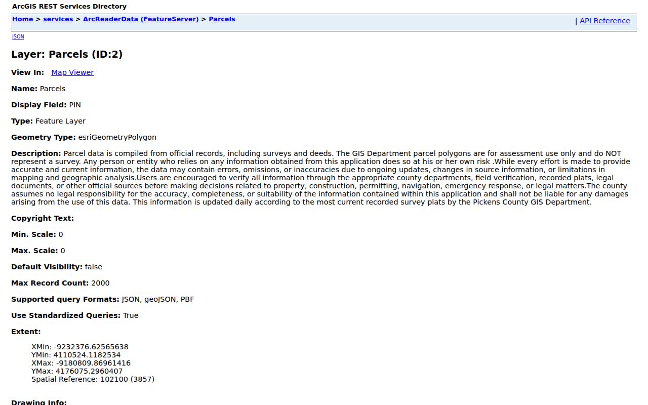
Those separate field families are why a street directory result must label a mailing contact and a physical parcel differently.
Compare Easley Street Directory Records
Address-keyed sources answer different questions. The county trail carries the current property and title information. City material can date a permit or planning event. A historical reverse directory may place a listed occupant at an address for one publication year. A complete address conclusion requires the record type and time period to stay attached to every name.
| Address record | Custodian | What it can establish | Access and limit |
|---|---|---|---|
| Property roll | Pickens Assessor | Published parcel, owner or taxpayer, mailing and situs information | Portal or counter; not a complete resident list. |
| GIS parcel layer | Pickens County GIS | Boundary, parcel ID, roads, map context, and selected fields | Official layer; geometry does not show title history. |
| Deed index and images | Pickens Register of Deeds | Recorded parties, date, instrument reference, legal description, and plat link | Index and image coverage differ; title is not occupancy. |
| Plat or subdivision record | ROD, GIS, or Planning | Lot order, street layout, and legal geography | Verify the recorded plat. |
| Permit or code record | City department or records custodian | Reported work, date, and releasable named party | Precise request or FOIA route; no household proof. |
| Voter registration record | Pickens elections custodian | Limited registration clue under lawful access rules | Individual and protected-record limits apply. |
| Reverse directory | Library or archive | Listed address occupant or subscriber for an issue year | Historic and incomplete; cross-check it. |
Use the parcel number and legal description to join the property and land paths. Use a dated listing only to test historical address evidence. Do not turn an applicant, court party, map label, or tax contact into an unqualified statement about residence.
Follow Easley Street Deeds
Pickens ROD AcclaimWeb is the deed-chain route. Search modes include Name, Book/Page, Document Type, Description, Consideration, TMS #, and Record Date. Begin with the current owner or a reference found on the parcel record, locate the acquisition instrument, then write down the grantor, grantee, recording date, instrument or book/page reference, legal description, and any stated prior reference. Search the earlier owner as grantee or follow that cited instrument. A grantor is the party transferring an interest; a grantee is the party receiving it.
AcclaimWeb states that public records are searchable online from 1971 to the present, but it does not claim that every record in that span is online. It states that scanned deed images run from December 1986 to the present. If the needed item predates online access or the image is absent, contact the Register of Deeds at 222 McDaniel Ave., Suite B5, Pickens, or call (864) 898-5865 about books, plats, copies, and current charges. The research did not verify a price, so no fee should be assumed.
The official AcclaimWeb name-search source shows the party, date, book, document, reset, and search controls.
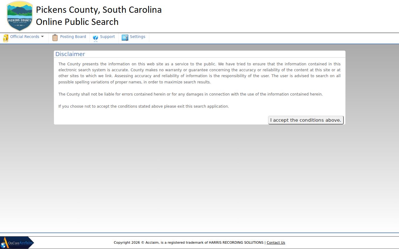
A name-and-instrument index is useful after an address has been converted to a parcel or legal-description trail, because a literal street address may not be the recorded retrieval key.
Define Easley Street Records
Land records use several terms that sound alike but perform different roles. Keeping them separate prevents a street-level search from assigning more meaning to a map or tax record than it has. A plat can also preserve the lot and block connection when an older deed does not use today’s street address.
- Parcel
- A defined tract in the county property system, linked by an identifier such as a PIN or account number.
- Situs address
- The physical location of the parcel in assessor or GIS records. It can differ from postal formatting and may describe vacant land.
- Plat
- A recorded map of lots, blocks, streets, or boundaries that helps connect legal geography to an address.
- Criss-cross directory
- A reverse address listing that may identify a listed occupant or subscriber in a particular publication year, not a complete census.
A legal description, which may use a lot, block, subdivision, plat, or metes-and-bounds wording, is the more durable link through older title records. It can survive a changed address format better than an assumed street-name match.
Check Easley Street City Files
The City File Directory is a municipal document index, not a street-resident database. It can be narrowed by Keyword, Entity, and File Type. Document types include permits, plans, maps, agendas, minutes, reports, forms, and ordinances. Results identify Date, Title, Type, and Entity. That makes it useful for locating a specific address-related city document or identifying the right department before a records request.
For a permit question, Easley posts monthly reports and has Building Department and Code Enforcement counters at 205 N. 1st St., (864) 855-7908. The reports are download-style reporting rather than a public address or name query. A precise address, month, permit category, or permit number helps the department find an existing record. A named applicant, owner, or contractor on a permit should remain a description of the reported work, not a residence finding.
When the document index does not reach the needed record, submit a focused request through the city FOIA channel or NextRequest portal. Request existing material by address and date range, ask for electronic delivery and an estimate, and let the custodian apply exemptions. The city packet allows an advance deposit up to 25 percent and describes different response frameworks for records younger or older than 24 months. Agendas and minutes older than 24 months are marked as Archives, so ask the Clerk or FOIA route for archived retrieval.
Limit an Easley Street Voter Check
South Carolina registration records are public inspection records under S.C. Code §7-5-410, but that rule does not create an online roster of everyone on a street. The official MySCVotes personal lookup requires County, First Name, Last Name, date of birth, the last four Social Security digits, and reCAPTCHA. It is an individual lookup with identity and access conditions, not an address-browse tool.
Ask the Pickens County elections authority how an inspection or record request is currently handled, what fields are available, and what protections apply. A nonmatch can reflect a name, date, address, county, status, or protected-record issue. It does not settle whether someone lives on an Easley street. Never seek or disclose protected-program details.
Note: Voter registration can be a time-specific confirmation clue, but it cannot identify every adult, child, visitor, or household at an address.
Read Easley Street History
Historic address work in Easley needs a wider jurisdiction vocabulary. The Pickens County Library System notes that earlier material may appear under Pendleton District, Pickens District, Anderson, Pickens, or Oconee. An empty modern-county search is therefore not proof that an older property or family was absent. The PCLS Historical Collection at Captain Kimberly Hampton Memorial Library offers a non-circulating local collection, limited obituary help, and a one-hour Book a Historian appointment route for a focused old-address question.
The city’s 1916 census counted 3,744 people and 75 business houses on November 1, 1916. It is a dated historic snapshot, not a modern parcel or household record. The digitized Easley census and the library’s newspapers, yearbooks, local maps, and archival contacts can supply context once title records stop being enough. For an old street trail, compare the source date, place name, address format, and legal geography every time.
Respect Easley Address Limits
No public street source establishes every person connected with a property. Parcel and deed records describe land and recorded parties. A city permit can describe an application or work event. A directory can report a dated listing. Personal motor-vehicle information is restricted, and utility or delivery records are not a public street-search substitute. South Carolina’s Address Confidentiality Program also protects qualifying participants and their supporting information from public disclosure.
The state also permits limited removal of specified sensitive identifiers from public internet displays through S.C. Code §30-2-330. That online-display process does not erase a lawful record from custody. Questions about a particular document belong with the Register of Deeds or Clerk that holds it.