
Easley Neighbors by Parcel
For Easley neighbors, begin with the smallest lawful frame: one selected parcel and the parcels that immediately abut it. The official county layer provides parcel geometry and field names that distinguish owner or mailing data from the physical location. The assessor, Register of Deeds, city records, election records, and historical sources answer separate questions. An adjoining owner is not automatically an adjoining resident, and a street label alone does not decide city or county jurisdiction.
| Source | What It Shows About a Block | Access |
|---|---|---|
| Pickens GIS parcel layer | Parcel outlines, roads, identifiers, and adjacency geography | Official public layer; direct interface details need current verification |
| Pickens Assessor | Published owner, tax-mailing, situs, and parcel facts | Individual parcel search or counter |
| Pickens Register of Deeds | Recorded parties, lots, plats, legal descriptions, and title references | Index and counter path; title is not occupancy |
| City planning or permits | Address-specific work, application, or development context if releasable | Departmental request or focused FOIA request |
| Election or community contacts | Limited public administrative or self-published contact information | Custodian procedure or organization’s own public site |
Use a parcel identifier to keep the search tied to land rather than guessing from imagery, school zones, mailing addresses, or a name in a directory. The county layer can bridge the map to the assessor and deed records, but it cannot create a household roster.
Map Easley Neighbor Parcels
Follow the visible boundaries rather than drawing a radius around a home. The research-supported method is address or parcel search, selection of the target parcel, and review of immediately touching parcel lines. A line across a road or a nearby lot is not necessarily a common boundary. If a live viewer later exposes a buffer tool, preserve its displayed distance, result count, and public-access limits instead of assuming how it works.
- Find the target by address or parcel identifier in the official Pickens GIS route. Confirm the situs field and county before treating it as an Easley parcel.
- Select the target parcel and visually identify only parcels that share a boundary. Record each adjacent parcel identifier, not a guessed occupant name.
- Open each identified parcel separately in the assessor or Register of Deeds path. Keep owner, mailing, situs, lot, plat, and legal-description fields in their proper roles.
- Use the deed and plat sequence to check common boundaries or subdivision layout. A parcel map is not a survey, and a title record is not an occupancy record.
- For a full named-street record trail rather than an immediate block, use the Easley street directory.
Duplexes, condominium areas, multi-parcel developments, jurisdictional edges, and road boundaries can make a visual block less simple than it first appears. A deed’s legal description and a recorded plat supply the land relationship that a screen map alone may not show.
Note: A nearby parcel boundary establishes geographic adjacency, not a social connection or a shared household.
Easley Neighbors and Parcel Fields
The county parcel layer separates record concepts that should not be merged. NAME1 and NAME2 are owner-name fields; ADD1, CITY, STATE, and ZIP are mailing fields; LOCADD, LOCCITY, and LOCZIP are the property or situs fields. PIN or PINEXT and ACCTNO can bridge a map result to assessment or recorded-land research. Sale date and price metadata, subdivision, zoning, acreage, and tax-area fields may add context, but a map polygon is not a survey and a sale entry should be checked against the recorded deed.
- Parcel
- A defined piece of land in a county property system, identified by a county number and shown as a map shape.
- Situs address
- The physical property location used by the assessor or GIS, which can differ from a mailing address.
- Plat
- A recorded map showing lots, blocks, streets, and other legal land layout details.
- Legal description
- The deed or plat land description that helps distinguish a parcel when street labels change.
City records can add a different kind of block fact. The Easley City File Directory searches documents by keyword, entity, and file type, with results showing date, title, type, and entity. It is useful for a precise permit report, plan, agenda, or policy request, not for identifying who lives on a block. For an unposted permit or code file, ask the Building or Code counter at 205 N. First St., (864) 855-7908, for the precise address, date range, and record category, or use the City FOIA route for existing non-exempt records. Agendas and minutes older than 24 months are in Archives, so an older request should name the archive or city-clerk retrieval need.
Easley Neighbor Voter Boundary
S.C. Code §7-5-410 makes official registration records available for inspection, but it does not establish a public, street-filtered neighbor roster. The Pickens elections custodian should confirm what inspection is possible, which public fields are releasable, and how protected data is handled. The individual MySCVotes login is personal, not an address-browse tool. A registered voter can be a time-limited administrative clue, never a complete list of people at an address or a record of ballot choices.
The state voter-list sale page describes a controlled purchaser route, not a ready-made street list.
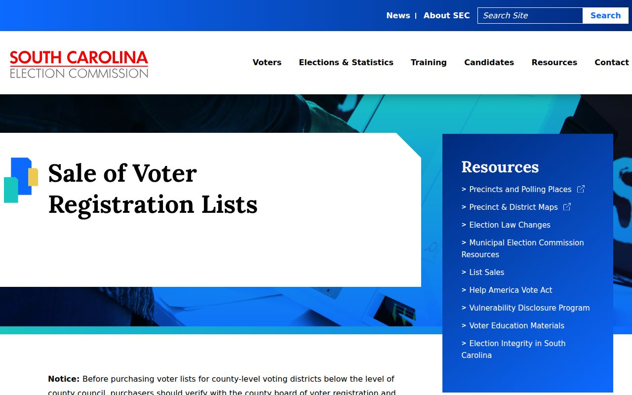
State-listed order criteria include county, voting district, age, sex, race, household, specified-election participation, and registration date. Street is not listed as an ordering filter. The state requires the purchaser to be a registered South Carolina voter and uses identity and CAPTCHA confirmation; current price and terms should be checked with the state before any request. S.C. Code §30-2-50 restricts voter-list use for commercial solicitation.
Easley Neighbor Community Contacts
Community contact sources have a narrow role. A public association page can provide the organization’s own governance or contact route. It does not make a membership list or private directory available. Research did not locate an authoritative Easley umbrella association directory or a publishable citywide member roster. Do not infer a private roster from an association name, a meeting notice, or a parcel subdivision field.
The Rock Ridge HOA public site is a community governance and contact source, not a roster.
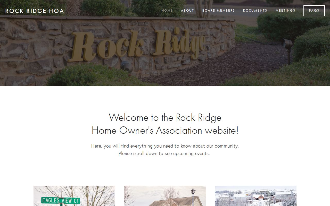
Use the organization’s own public contact path for a question about its published governance information. Do not ask an association to disclose members, contact information, or a private directory.
| Community source | Appropriate use | Limit |
|---|---|---|
| Rock Ridge HOA | Public governance and contact site | No member roster or private directory is claimed. |
| PCLS Historical Collection | Historic newspapers, maps, yearbooks, and limited obituary inquiry | Time-bound research material, not a current neighborhood directory. |
Easley Neighbor Docket Limits
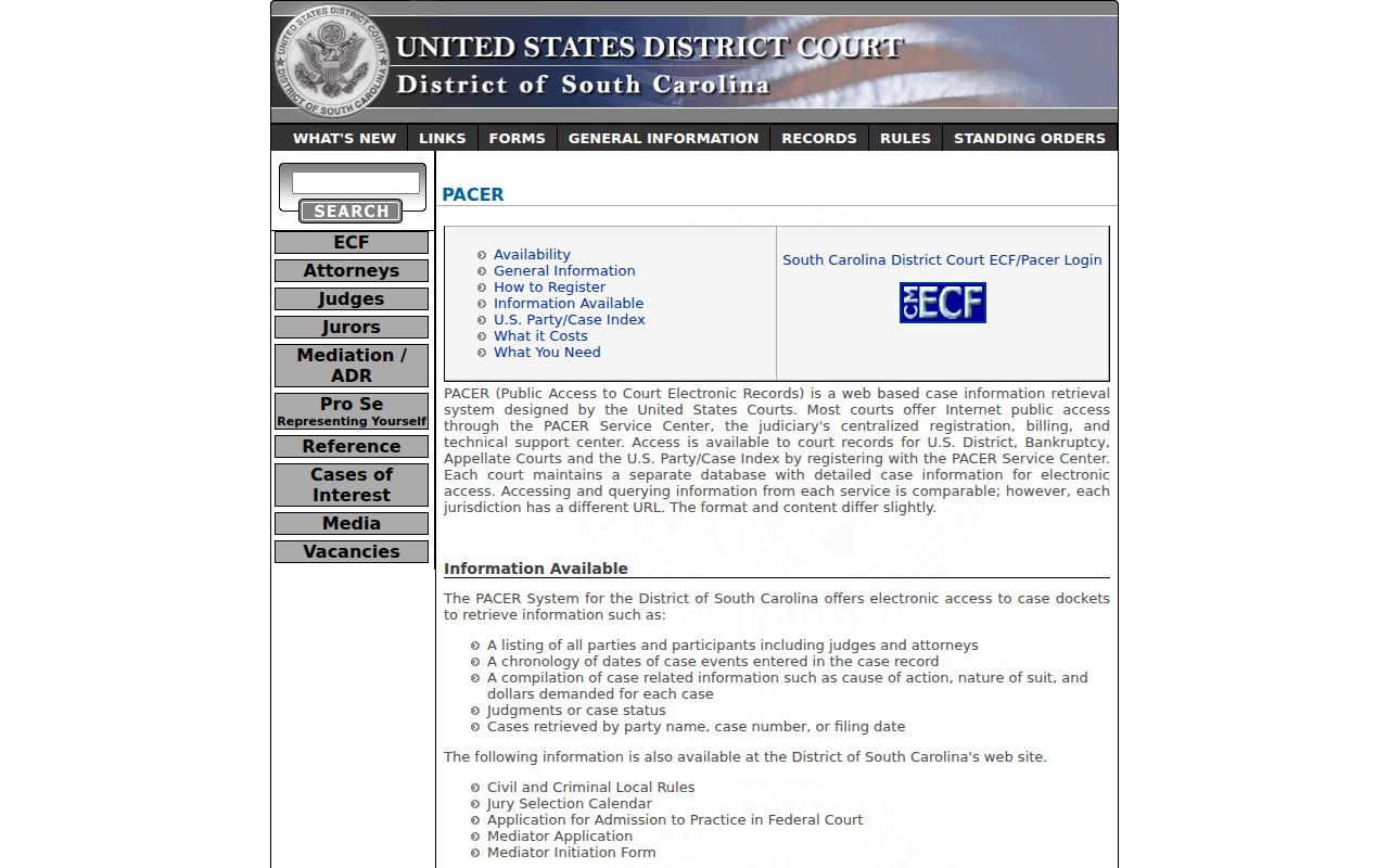
Federal court material has no neighbor-directory function. It belongs to a case-specific check when a known party, case number, or filing date relates to a legitimate records question. The District of South Carolina’s PACER system searches federal case dockets by party, case number, or filing date and can return docket and case information. It does not establish who lives near an Easley address. State court questions instead begin with the Pickens-limited Public Index and the responsible court.
The District of South Carolina PACER information explains the federal docket route and its distinct scope.
For historical block context, use dated sources instead. PCLS publishes historic newspapers and local material, while the 1908 Sanborn and 1958 USGS map sources can help reconcile older street geography with a legal description. A date-stamped address mention is still not proof of current residence.
Easley Neighbor Source Comparison
Official records preserve the reason a fact exists and identify the custodian responsible for correcting it. Commercial neighbor-lookup categories may combine old directories, filings, and marketing data without showing the source date or a correction route. Neither category turns a parcel owner into a confirmed resident. For an important question, return to the public custodian, retain the parcel or case identifier, and compare at least two independent dated records.
| Source category | Useful strength | Core limit |
|---|---|---|
| Official parcel, deed, court, or city record | Custodian, record type, and stated access rules are identifiable. | Each record is narrow and may be dated, redacted, or restricted. |
| Commercial neighbor-lookup category | May offer a starting clue from mixed data sources. | Can be stale, incomplete, or conflated across similar names; source correction may be unclear. |
Easley Neighbor Block Context
Easley’s older address trail has a local history. The city incorporated in 1873 after the Atlanta and Charlotte Air Line Railroad, with downtown tied to the Pendleton and Main depot; the Easley Cotton Mill opened in 1900 and Glenwood Cotton Mill in 1902. Older block evidence can therefore appear in rail, mill, street, map, and newspaper materials rather than in a modern parcel screen. PCLS also warns that older area records may be indexed under Pendleton District, Pickens District, Anderson, Pickens, or Oconee.
Note: Use source date, issue, and page details when a newspaper or historic directory supplies an address clue.
Easley Neighbor Privacy Limits
Utility accounts, motor-vehicle personal information, protected program data, and unlisted household details are not a block-search fallback. South Carolina’s Address Confidentiality Program under S.C. Code §16-25-130 protects qualifying participants, and participant materials are not public records. Court and recording systems also have redaction limits. A lawful search does not include seeking a withheld address, publishing a block list, or using public data to pressure a person.
Lawful use. Use Easley neighbors records for a legitimate, personal property or history question. Do not follow, harass, intimidate, expose, or contact anyone through information found in a record.