
Sources for Previous Residents at Easley Addresses
A defensible address history uses records with distinct roles. A deed tracks a recorded transfer. An old directory can name a person listed at an address for one issue year. A census can place a household in an enumeration, while a permit can date reported work. Easley is principally in Pickens County, but a postal city name does not itself prove county or municipal custody. Confirm the parcel’s county, tax-map identifier, and legal description before attaching any source to the same property.
| Source | Years It Covers | Where Held | What It Shows |
|---|---|---|---|
| Pickens ROD online index and deed images | Public search stated 1971-present; images stated December 1986-present | Pickens ROD AcclaimWeb and Register of Deeds counter | Recorded title parties, dates, legal descriptions, and references; coverage is not complete |
| Earlier deed books and plats | Book and microfilm periods need custodian confirmation | Pickens ROD and SCDAH as applicable | Older title chain, plats, and legal land descriptions |
| City and reverse directories | Exact local run requires library verification | PCLS Historical Collection or another verified repository | A listed name or address for a specific issue, not a complete household census |
| Federal census and PCLS local census | Federal sequence 1790-1950; Easley local census 1916 | National Archives venues and PCLS Digital Collections | Dated household or community evidence, with different geographic scope |
| City permits and planning records | Displayed reports and retention must be checked for the requested date | City of Easley department, file directory, or FOIA route | Work, application, parcel, or planning chronology, not occupancy proof |
The online route is useful when it reaches the needed record. If it does not, call the Register of Deeds, ask about older books, microfilm, copy procedure, and the first available online or image year, then use a narrow written request for existing records. PCLS, SCDAH, a map repository, and the relevant city counter are separate access channels, not substitutes for the custodian of a deed.
Easley Previous Residents Begin With a Parcel
Begin with the Pickens County parcel rather than treating a street number as a permanent identifier. The Pickens County Assessor advertises real-property searches by owner name, property address, parcel number, and account number. The county GIS layer distinguishes owner and mailing fields from LOCADD, LOCCITY, and LOCZIP, which describe the property’s physical tax location. That distinction prevents a tax correspondence address from being treated as proof that a person lived at the property.
A parcel number, account number, subdivision, lot, plat reference, acreage, or legal description gives the older deed trail something stable to follow. The county parcel service can also expose sale metadata, but a recorded deed is the better transaction evidence. Where the county line or city limits are uncertain, confirm them with the parcel and city boundary information before requesting municipal records.
Note: A parcel record connects land and tax information; it does not supply a list of everyone who lived there.
Trace Easley Previous Residents Deed Chains
The Pickens County Register of Deeds is the title-record custodian. Its AcclaimWeb portal states a public online search range of 1971 to the present, while warning that not every record in that period is online. Scanned deed images are stated from December 1986 to the present, with back-scanning continuing. A gap in the web results calls for the counter, not an assumption that the deed never existed.
- Confirm the present parcel, legal description, and current recorded owner through the assessor or county parcel information.
- Find the current acquisition instrument through the ROD by grantee, book and page, instrument number, or the deed reference already supplied by the parcel record.
- Record the grantor, grantee, recording date, document type, legal description, plat or subdivision reference, and each prior-reference citation.
- Search the prior owner as a grantee, or follow the cited earlier deed, then compare the legal land description at every transfer.
- When the online trail ends, contact the ROD at 222 McDaniel Ave., Suite B5, Pickens, or call (864) 898-5865 for the book, microfilm, image, or copy route.
- Grantor
- The party conveying an interest in a recorded instrument.
- Grantee
- The party receiving the interest recorded in that instrument.
- Chain of title
- The sequence of recorded transfers tied together by parties, prior references, and the same legal land description.
- Legal description
- The deed or plat description of land, such as a lot, subdivision, metes-and-bounds description, or plat reference. It can remain useful when street numbering changes.
Easley Land-Record Search Clues
AcclaimWeb indexes people and recorded instruments, not a complete address history. The name search requires a party type and name. The portal advises spelling-variant searches, and its help uses the last-name-first format. A live default date of January 1, 1828 is not proof that every record from that date is online. The ROD FAQ, portal notice, and the counter remain the authority for coverage, copying, and certification questions.
| Party type | Both, Direct Name, or Reverse Name |
|---|---|
| Name | Required text field; the displayed guidance uses last name followed by first name |
| Other search paths | Book/Page, Document Type, Description, Consideration, TMS #, and Record Date |
| Useful result fields | Party names, document type, record date, instrument number, book/page, description, and cross-party name |
Use a copy request by book and page when possible. The ROD says certified copies are available on application and prepayment under S.C. Code §30-5-20, but the current local fee was not verified in the research. It holds deeds, mortgages, powers of attorney, plats, easements, mechanics liens, tax liens, and mortgage satisfactions, not vital records or mobile-home titles.
Easley Permit Dates and Planning
City records can bracket a construction, alteration, or planning event at an address. They do not identify a complete household or establish a move date. The Easley Planning & Development Application Tracker posts an all-in-one public land-use and development spreadsheet every Friday. Its columns include application or permit number, agenda item, status, application type, received date, commission and council meetings, recommendations, and final decision.
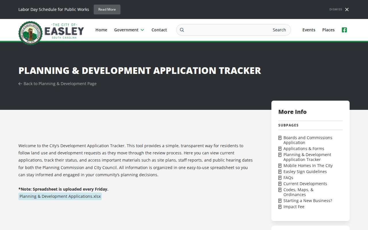
The tracker is useful for a date-bound planning sequence. It is not a land-title index and should be matched back to the parcel, deed, or actual city file before a conclusion about an address is made.
The monthly permit report hub gives a more address-specific work lead. Inspected reports included late 2025 and early 2026 materials. The January 2026 workbook used columns for permit, location, status, permit type, category, date, total square footage, value, scope of work, parcel number, applicant, and property owner.
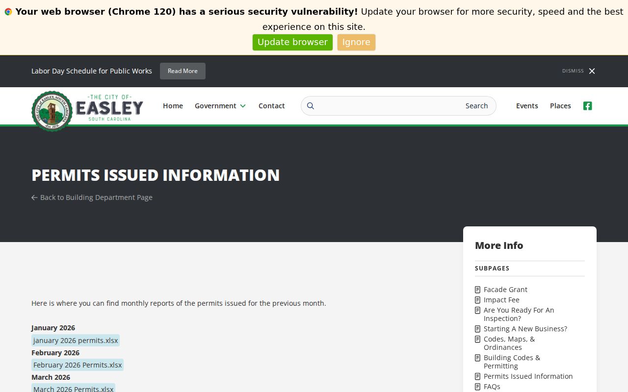
A permit can establish reported activity, but not completion, current ownership, or who lived at the address. For an older city file, use the City File Directory and request archived retrieval when agendas or minutes are older than 24 months. A precise address and date range makes a records request more useful than a broad request for a person.
Easley Maps Preserve Address Continuity
Address continuity is the difficult part of a backward trail. A historic number can belong to an old street name, route, rural delivery, annexation area, or changed parcel. No authoritative Easley-wide renumbering or street-renaming year was found, so do not create one. Instead, compare the number, cross streets, legal description, plat, lot, map, and nearby recorded land references before treating two addresses as the same place.
The 1908 Library of Congress Sanborn map and the 1958 USGS Easley quadrangle offer a useful historical pair. They can show footprint, street geography, and change over time. A map is context, not title proof. The legal description and recorded plat do the work of holding the land identity together.
The documented 1954 and 1966 Easley directory references in the National Register nomination show why that comparison matters: Lanier Manufacturing moved from 112 Russell Street to Greenville Road or SC Highway 93, and a 1956 Sanborn map confirmed the earlier location. Treat that as a method example for dating an address transition, not evidence about a private household.
Easley Past Households in Census
Title history and household history are separate questions. After a deed reaches an earlier owner, ask the PCLS Historical Collection for a specific city, telephone, reverse, or criss-cross directory title only after staff confirms it exists. The historical collections themselves are detailed on the Easley city directory page. A reverse listing can point from an address to the person printed for that issue, but a listed person may be a subscriber, household member, or business contact rather than every person at the address.
- Save the exact directory issue, title, page, street spelling, number, and printed name.
- Compare the prior and next available issue, watching for initials, spelling variants, a widow notation, or an address change.
- Pair the interval with the closest released federal census. The public federal sequence reaches 1950 under the 72-year rule.
- Use the PCLS 1916 Census of Easley as a local, date-specific snapshot, not as a substitute for an address-level federal enumeration.
- Test a disappearance with the PCLS newspaper holdings, obituary lookup process, probate, cemetery, marriage, or death-record path appropriate to the date.
The 1916 PCLS local census reports 3,744 people and 75 business houses on its date, making it a useful community snapshot rather than a substitute for an address census. PCLS also lists Easley Progress for 1902-1906 and 1921 through December 2016, along with substantial Pickens and Keowee newspaper runs. It holds South Carolina death certificates from 1915-1971 on microfilm and a 1915-1949 index. Those sources can supply a dated lead, but each needs its title, issue or record date, page or reference, and a second source where the conclusion matters.
Easley Previous Residents Across Jurisdictions
Earlier Easley-area land and family material can be cataloged under a prior jurisdiction. PCLS identifies Cherokee territory before 1791, Washington District in 1791, Pendleton after the 1798 split, Anderson and Pickens District in 1826, and Pickens and Oconee counties after 1868. Search Pendleton District, Pickens District, Anderson, Pickens, and Oconee when the present county label produces no older result.
For a trail ending in death or an estate, PCLS reports Pickens Probate wills beginning in 1828, marriage records beginning July 1, 1911, and South Carolina death certificates from 1915-1971 on microfilm. SCDAH’s genealogy resources, the appropriate probate counter, DPH access rules, and a dated newspaper notice form a layered path. The direct Pickens Probate online search, fees, and local form details were not verified, so request those details from the custodian before relying on them.
Easley Previous Residents and Lawful Use
Public land and historical sources have real limits. A deed can name parties to a transfer, a parcel can show tax information, and a directory can reproduce a historic listing. None of those records authorizes a claim about a current household, protected participant, utility customer, minor, or anyone who simply receives mail at an address. Keep the source, date, and role visible whenever a name is noted.
Lawful personal use. Use an Easley address trail for personal, family, heir, or local-history research. Do not use public records to stalk, harass, or harm any living person.
South Carolina’s Address Confidentiality Program protects qualifying participants’ data from public disclosure. Narrow requests for existing, non-exempt city or county records should name the address, parcel, record type, and date range. Under the South Carolina Freedom of Information Act, the office that holds the record decides access and required redactions.